Walk
Up to the high ground, which is a field with two towers on it
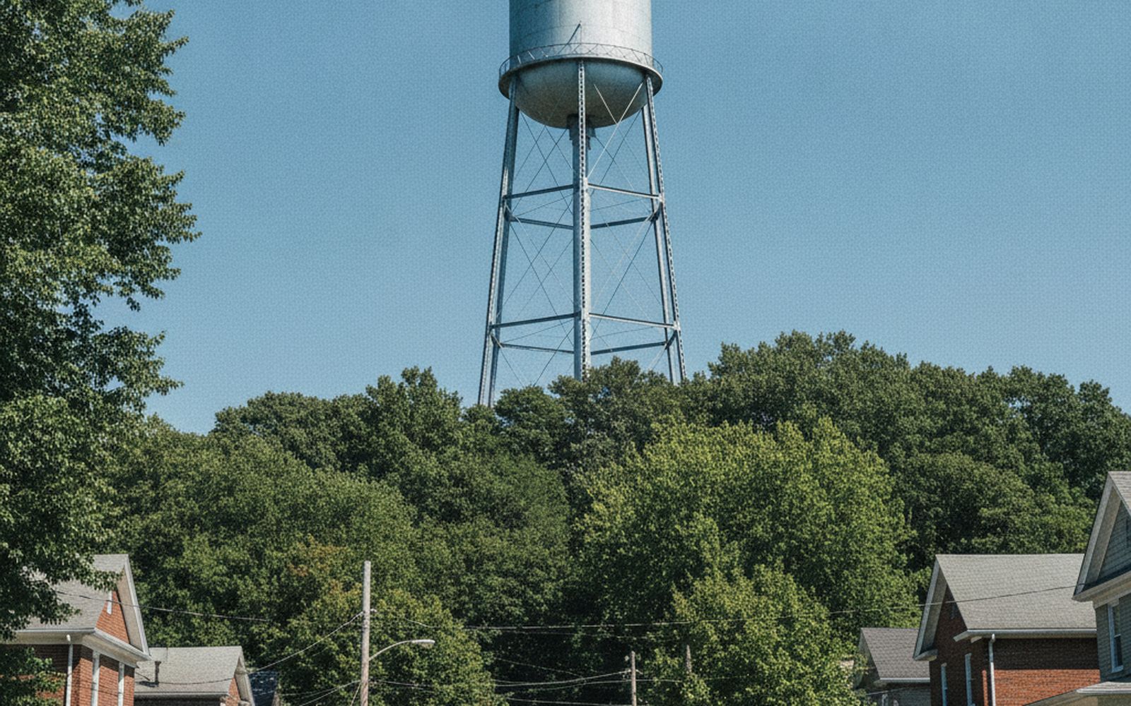
Four hundred and nine feet, a school playing field, two water towers and one of the few places in this city where you can feel the shape of the land under the street plan.
The highest natural point in the District is not a hill in any dramatic sense. It is the top of a long ridge in the northwest, it carries a school, a playing field and two water towers, and from the right corner of it you can see a very long way east.
Getting there is the good part. The last mile is a genuine climb by the standards of a city that is mostly a river plain, and the streets on the way up tell you what people did with the height before anybody thought of putting a school on it.
The route
From the valley floor up the ridge, along the top, and down the parallel street. Four miles measured, two hours fifteen with stops, on a hot July morning finished before the worst of it.
The climb is about two hundred and thirty feet in total and comes in two parts, neither of them steep enough to need hands and both of them enough to need water in summer.
Why anything is up here
Height is useful for exactly two things in a city like this: seeing, and water pressure.
The towers are the second one. Put a tank at the highest point and the whole neighbourhood below gets pressure without pumps, which is why every ridge in every older American city has a tank or the concrete stump of one.
The seeing came first and is much older. High ground overlooking the approaches to a city has always been fortified, and this ridge was, in the eighteen sixties, in a line of earthworks that ran right around the city. Almost nothing of it survives above ground. What survives is the pattern of open land: a chain of small parks along the ridge, unbuilt because it was public before it was anything else.
The climb
- The first pull is four blocks of steady rise on a residential street, shaded, with the pavement in good repair.
- The flat bit in the middle is a false summit and does not count.
- The second pull is shorter, steeper and in full sun on the eastern side, and it is the one to do early in the day.
- The top arrives without ceremony, as a field, a fence and a car park.
The view, honestly
Limited, and better in winter. The trees on the eastern edge have grown enough to close most of it, and what you get is a series of gaps rather than a panorama.
What you can see through the gaps is worth the walk: the ground falling away for miles, the ridges beyond, and, on a clear day, the far side of the river valley. Nothing in the middle of this city gives you that, because the middle of this city is flat and low.
What the elevation explains
Stand up here and the street plan below makes sense in a way it never does at street level. The grid is on the flat ground. The diagonal avenues run along the natural routes. The neighbourhoods with the big trees are the ones on the slopes, because slopes were the last to be built and got planted latest.
And the river, which you cannot see from most of the city, is obviously the reason for all of it.
The surface, honestly
Pavement throughout, mostly good, with one block of brick that is uneven enough to be worth watching. The field at the top is grass and gets muddy in the corners after rain.
No stairs on the described route, though there is a set of them cutting between two of the streets on the way down, which saves nothing and is worth taking anyway for the view down the stairwell of trees.
Water: none on the route apart from the school fountains, which are locked outside term. Carry it in summer. This is the one walk in the journal where the heat is the actual constraint.