Walk
Six miles of the river nobody puts on a postcard
It is the second river in a two river city and it gets treated as the back one, which is why it has the better path, the better birds and about a tenth of the people.
Everything visible in a photograph of this city is on one river. The other one comes down from the northeast, meets it in the south, and has spent a century being the working river: rail yards, a navy yard, sewers and, more recently, twenty miles of continuous path along both banks.
This walk does six of them, on the eastern side, from the marsh down to the bridges.
The route
North to south along the riverside path, with a detour onto the island in the middle. Six miles measured, three hours with long stops for birds and one for a bridge.
Flat the entire way. Paved the entire way. This is the least demanding long walk in the journal and the one most worth doing if you want distance without deciding anything.
The marsh at the top
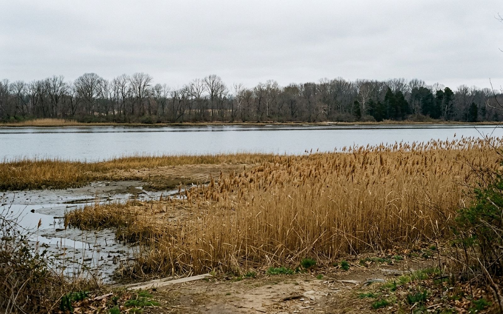
The upper stretch runs beside a genuine tidal marsh, and tidal is the operative word: this river rises and falls a couple of feet twice a day, and the reeds show it. At low water the mud flats appear and the wading birds arrive to work them. At high water the whole thing is a sheet.
Go at low water if you want to see anything move. Any tide table for the river mouth is close enough for this purpose, and an hour after the low mark is the best of it.
The island
There is an island in the middle of the river reachable by footbridge, and it is the best half hour on this route. Wooded, quiet, with a path around the edge and a boardwalk over the wet part.
From the far side you get the only view in the walk that shows both banks at once, and it makes the shape of the river obvious in a way that no map does. This is a slow river with a wide flood plain that the city has spent two centuries building on.
The bridges from underneath
Four crossings on this stretch and every one of them is more interesting from below than from above.
- The rail bridge is the oldest structure on the walk and the loudest thing on it by a considerable margin.
- The road bridges all carry their construction on the outside, which is why a bridge from underneath is a diagram and a bridge from on top is a road.
- One of them has a pedestrian deck slung under the traffic, which is an odd and excellent place to stand.
- The abutments are where the river's high water marks are recorded most legibly, in a stain rather than a plaque.
The surface, honestly
Asphalt and concrete throughout, in good repair, with a boardwalk section on the island. No stairs on the main route. The ramps at two of the bridge crossings are long but shallow.
Shade is patchy in the northern half and almost absent in the middle two miles, so in July this is a morning walk or not a walk at all. Benches appear about every half mile, which is more than most of this city manages.
What it is like to walk
Quiet in a way the other river never is. On a Saturday in April this walk passed perhaps forty people in six miles, most of them on bicycles, all of them going somewhere rather than sightseeing.
The soundtrack is water, wind in reeds, a heron leaving, and every eleven minutes an aircraft on approach to the airport downstream. That last one is not a complaint. It is a metronome, and after an hour you stop hearing it.